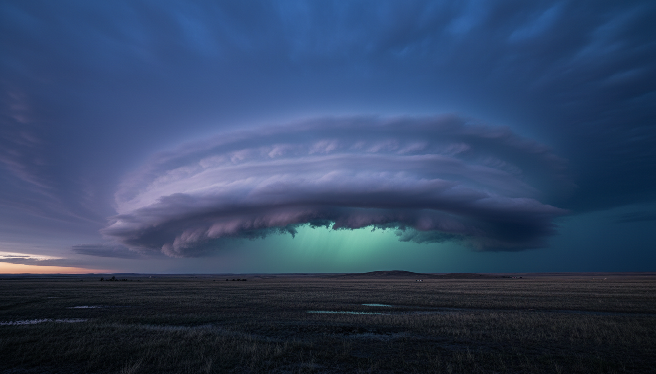
CHASE THE
UNTAMED.
Wyoming's premier storm chasing tours and professional weather consulting. Experience the raw power of nature with expert meteorological guidance.
DUAL EXPERTISE
RECENT CHASES
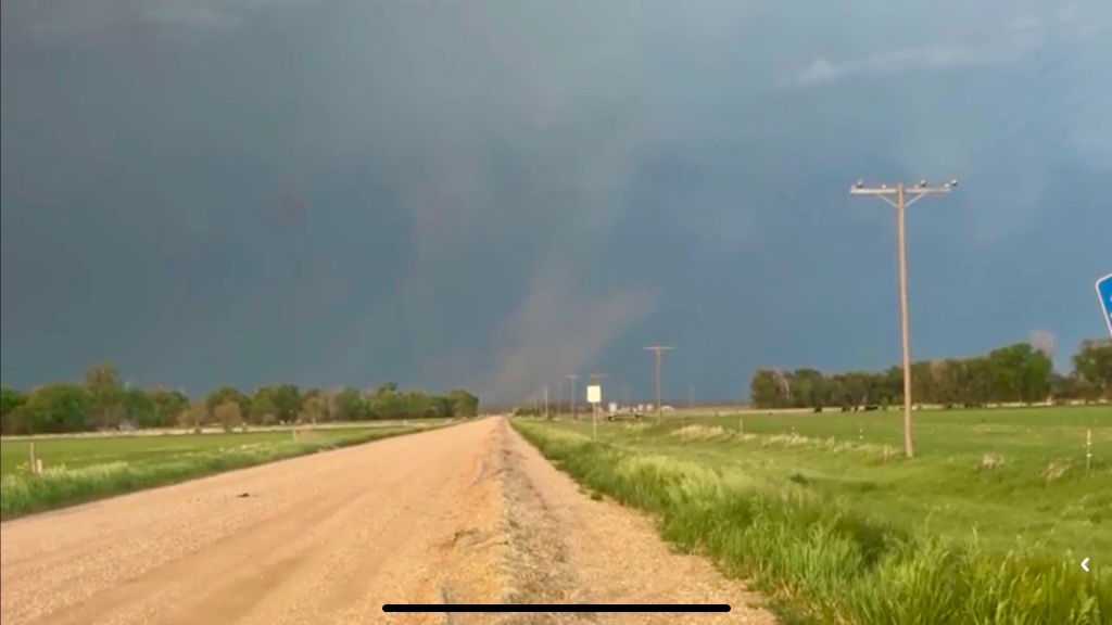
Torrington, WY
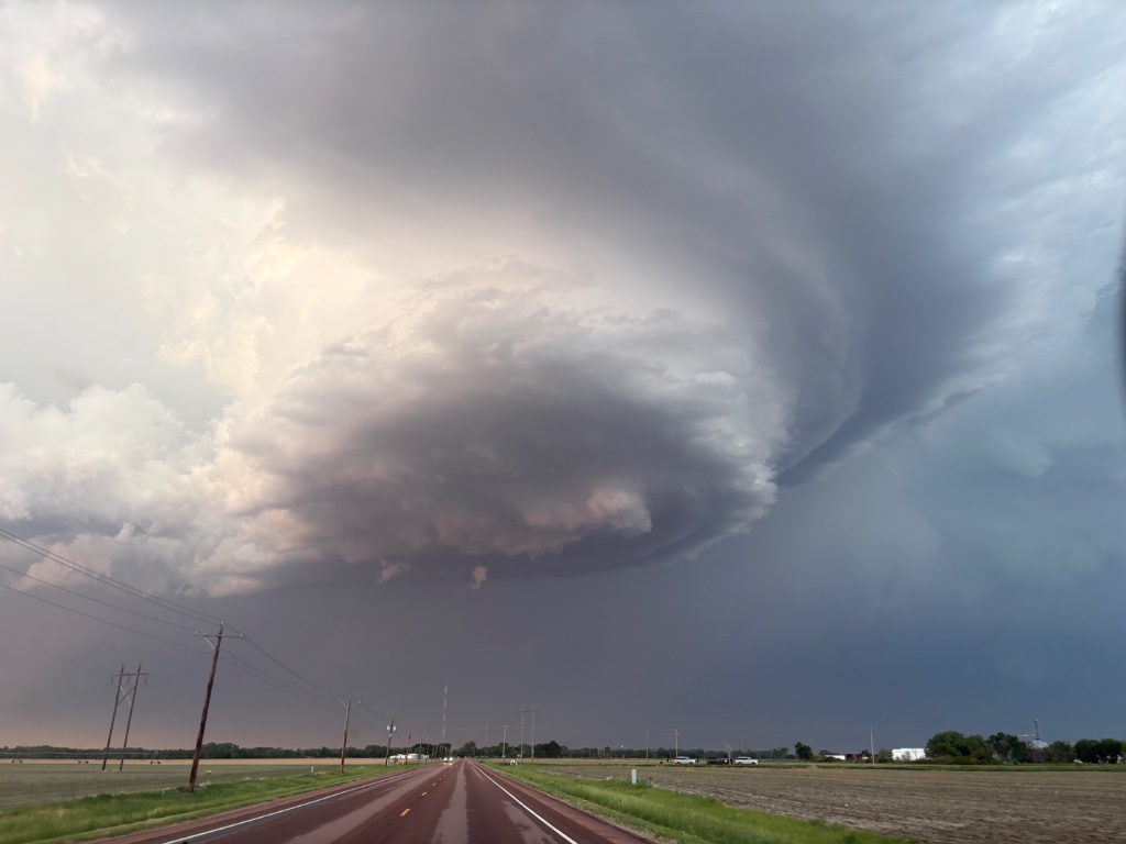
Douglas, WY
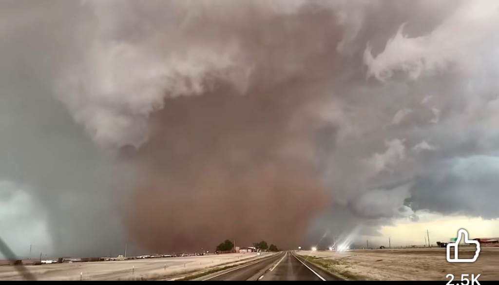
Casper, WY
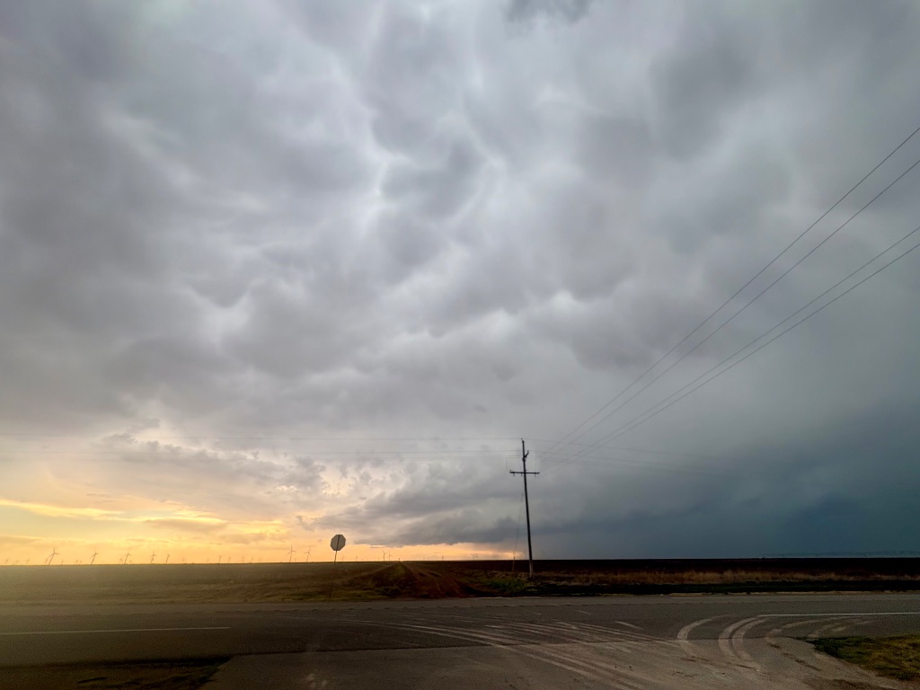
Sheridan, WY

MASTERS OF THE
WYOMING SKY
Storm Front Specialists was founded by veteran meteorologists with a shared passion for Wyoming's extraordinary weather systems. We combine cutting-edge forecasting technology with decades of field experience.
Whether you're seeking the thrill of chasing a supercell across the high plains or need reliable weather intelligence for your business operations, our team delivers with precision and professionalism.
NOTABLE CHASES
A field record of our most significant intercepts — documented for science, shared for the thrill.
EF3 WEDGE TORNADO
A violent wedge tornado tracked 14 miles across open farmland. Peak winds estimated at 145 mph with a damage path over 600 yards wide.
PROLIFIC SUPERCELL
Long-lived supercell produced three-inch hail and multiple brief tornadoes over a four-hour chase window. Classic HP structure.
DERECHO OUTBREAK
A bow echo complex swept through the Casper corridor at 65 mph. Straight-line winds downed trees and power lines across three counties.
LIGHTNING BARRAGE
An electrically charged supercell produced over 2,000 lightning strikes in 90 minutes. Stunning intra-cloud displays lit the night sky for miles.
HAIL CORE INTERCEPT
Direct intercept of a golf-ball hail core at the base of an isolated supercell. Stone accumulation reached six inches on roadways.
NIGHT TORNADO
A rain-wrapped EF1 tornado intercepted after dark using mobile Doppler radar. One of the most challenging — and rewarding — chases of the season.
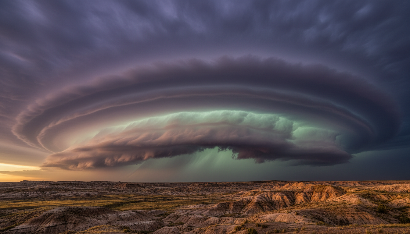
READY TO RIDE
THE STORM?
Whether you're booking a once-in-a-lifetime chase experience or need expert weather consulting for your Wyoming operations — we're here.